Ecology en route in Wellington
15 December 2015
SHARE

Their assessments have already contributed to the route selection of the new Petone to Grenada link road and the Wellington to Hutt valley walking and cycling path. The preferred alignments were announced in November 2015, with consent applications expected to be lodged in 2016.
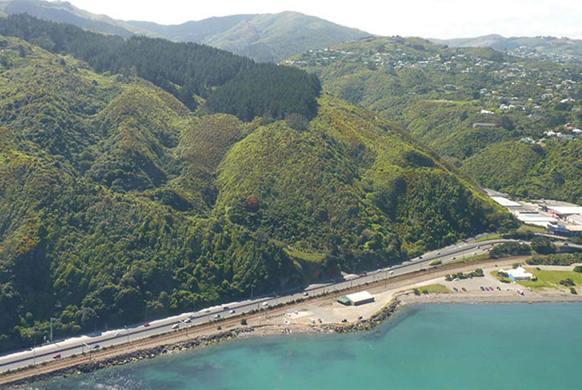
The proposed walking and cycling path will pass along the narrow coastal shelf bordering Wellington Harbour where the motorway and railway already occupy much of the space. Earlier this year, our team looked at the potential ecological effects of several potential alignments within that corridor. NZTA’s preferred seaward alignment was selected, taking into account potential benefits, public feedback and technical advice, including the ecological assessment.
Currently, our ecologists are studying the vegetation, streams, wetlands, estuaries, avifauna, herpetofauna and bats in the vicinity of the proposed Petone to Grenada link road to assess how the ecology might be affected by the construction and/or operation of the new road. The route passes close to some important ecological corridors and traverses a quite diverse range of habitats including the steep coastal escarpment above the harbour, some complex stream and gully systems, and farmland.
The two projects are aimed at improving road safety, boosting economic growth and better connecting the region’s transport network. Our ecologists will be looking for ways to avoid adverse effects and opportunities to enhance ecological values.
You can view the Wellington to Hutt Valley Walking and Cycling Path report here.