Boffa Miskell’s landscape planner and ecologists and worked with Te Rūnanga o Arowhenua in identifying the specific values of the site, the nature and scale of potential adverse effects resulting from the construction and operation of the solar array, and how these can be appropriately managed.
The Ecological Impact Assessment (EcIA) considered the already modified nature of the Site but also the relatively insignificant direct impacts of earthworks and site clearance required to construct the solar panel arrays (the panels will be supported on pile driven posts), noting that indirect effects to vegetation (shading by the panels) will likely be the main adverse effect. The proposal also provides an opportunity to fence off and improve two wetlands within the Site. The EcIA concluded that the construction and operation of the proposed solar array is expected to have less than minor/low adverse effects on ecological values, with a net gain in wetland areas subject to conditions.
In the event that the solar array stops operating, the Site will be cleared of all panels, buildings/structures and cabling, and the land will be returned to pastoral uses. However, the wetlands will remain fenced and monitoring and weed control will continue to be undertaken.
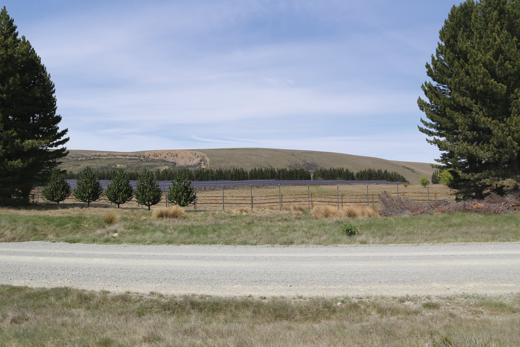
Whilst it is acknowledged that there will be effects on the landscape character values of Te Manahuna, due to the Site’s unobtrusive location at the foot of the Old Man Range landform, the Landscape Planning Assessment considers these will be localised and low level. The Site is also contained by a mature shelterbelt (15-20m in height) which limits views to the Site from Braemar Road, and it is not visible from main viewpoints in the district (such as Mt St John and SH8), therefore visual effects are also limited, and with the exception of views located at the site boundary, effects are low adverse to none.
Effects will be further mitigated if measures recommended by the landscape planner are adopted. These relate to the use of non-reflective building materials and colours that will blend with the landscape, avoiding visible foundations, locating fencing inside the shelterbelt and progressively rehabilitating areas of soil disturbance or immediately post‐construction to reduce views of bare soil. These recommendations are proposed to form conditions of consent.