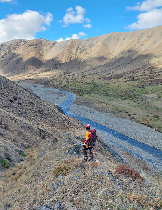
Boffa Miskell was first contracted by Marlborough District Council to deliver the Molesworth / Rangitahi Wilding Conifer Control Programme for the 2020/21 season and has continued to support the programme since then. The work is largely funded through the National Wilding Conifer Control Programme and delivered in partnership with Marlborough District Council, the Department of Conservation, Pāmu, contractors, landholders, community trusts and other stakeholders. Our role spans strategy, planning and delivery. This includes annual works programme design, contractor procurement and management, health and safety oversight, stakeholder engagement, budget management, spatial planning, field verification and reporting.
A key early milestone was the development of the Molesworth / Rangitahi Wilding Conifer Strategy 2020–2030. This strategy set the long-term vision, goals and objectives for wilding conifer management across the Management Unit and continues to guide annual planning and delivery. The strategy aligns programme objectives with the Regional Pest Management Plan, with areas managed for exclusion, eradication, sustained control or progressive containment.
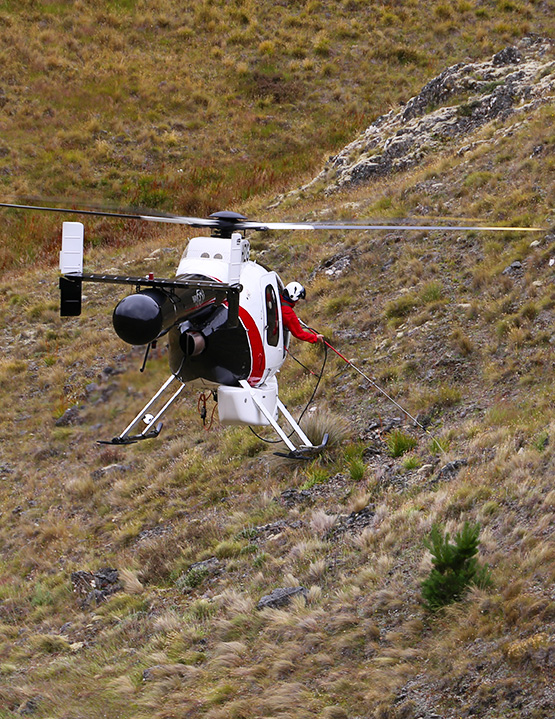
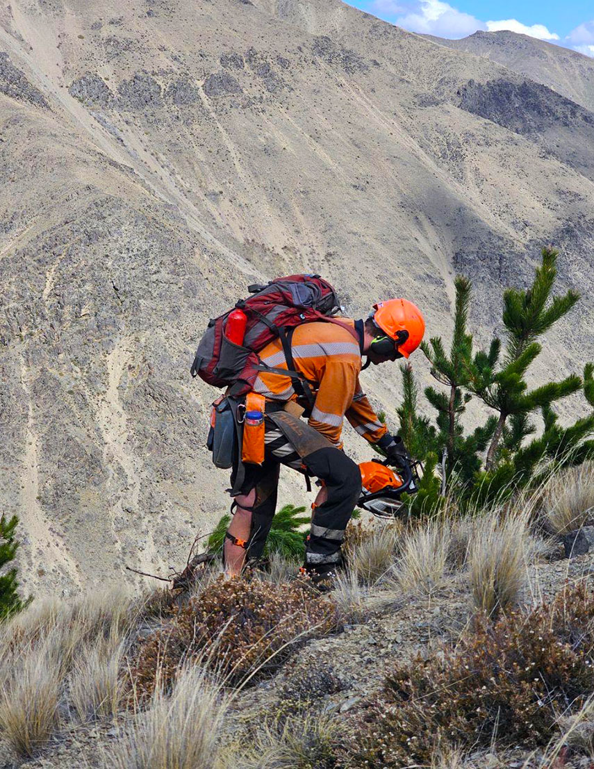
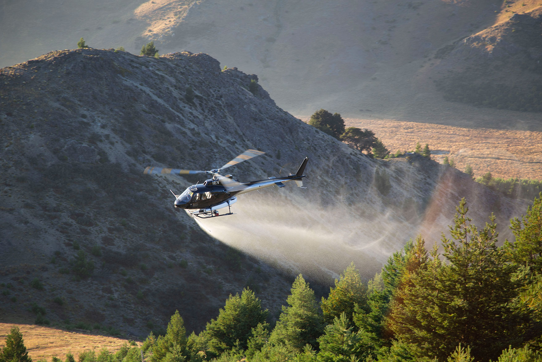
Since 2020, we have managed approximately $15 million of wilding conifer control across Molesworth / Rangitahi. The programme uses a range of control methods, selected to suit terrain, infestation density, access, environmental sensitivity and operational priorities. These include Aerial Basal Bark Application, Aerial Foliar Spray Application, Aerial Spot Spray Application, mechanical removal and ground control.
Innovation has also been central to how the programme is managed. Boffa Miskell’s bespoke Biosecurity Portal gives contractors, project managers and clients a shared system for managing site information, budgets, invoices, GPS data, photos and reporting. Contractor GPS data is quality checked against invoiced hours, strengthening transparency and giving clients confidence that they are paying for work delivered. The data is then processed through GIS and displayed in ArcGIS Online web viewers, helping the project team identify gaps, plan future control, and clearly show progress across a large and complex landscape. The programme has also supported more targeted and adaptive work, including shelterbelt removal, herbicide trials and refinement of aerial spot spraying methods. This adaptive approach helps improve operational efficiency, reduce reinvasion risk, and ensure control methods remain practical across a large, remote and highly variable landscape.