Exploring future planting and trail development through immersive 3D modelling.

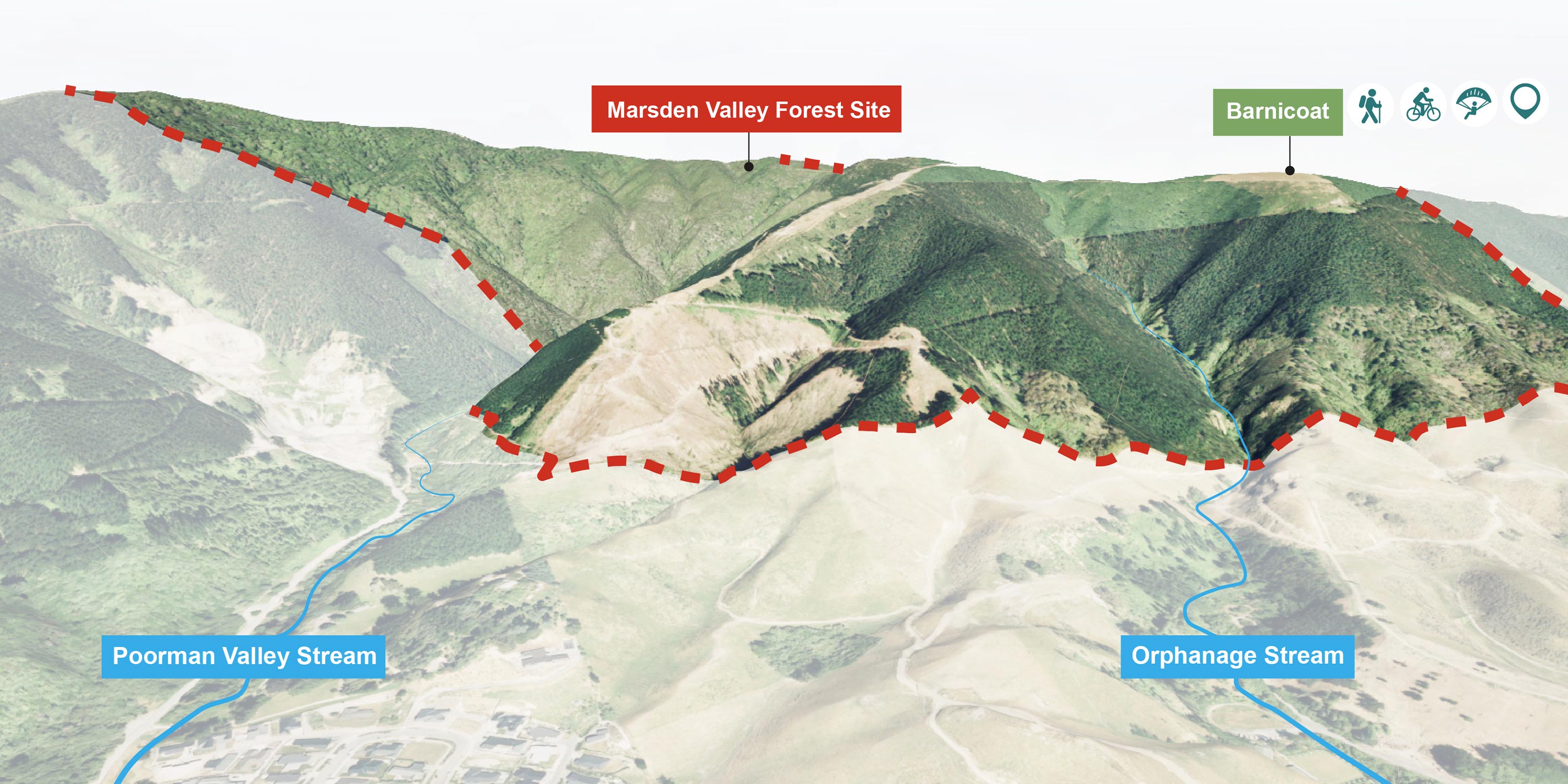
This desktop study focused on the 142-hectare Marsden Forest block, built on recommendations from Nelson City Council's Right Tree Right Place Task Force, to explore future planting and trail development options for this highly visible and well-used site.

Marsden Forest is a steep, well-used area that is popular for walking and running, as well as mountain biking, alongside blocks of commercial forestry. With planning for the forest block underway, Boffa Miskell developed a unique process to test planting strategies that highlight ecological restoration and recreational use.
Location

Nelson Tasman

Project team

Liz Gavin
Jo Kearney

Project date

2023 - 2024

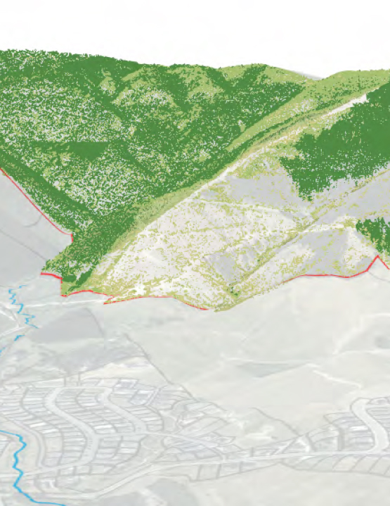
The study enabled Boffa Miskell Landscape Architects and GIS Specialists to create a customised 3D platform for data collection, interaction, and communication. This tool enabled the visualisation and annotation of complex site data, including slope analysis, land cover, and trail networks, in a dynamic 3D environment, thereby overcoming the limitations of 2D mapping. The tools and strategies developed offer a scalable model for future planning across similar forested environments.

The team developed a planting strategy focused on revegetation that promotes balancing ecological goals with recreational needs. The strategy was then visualised in Twinmotion, producing a 3D scene and renders that effectively communicate the planting approach.

The planting plan aims to increase biodiversity by forming ecological corridors and extending gully planting from Orphanage and Poormans Valley Streams. Native planting zones were established around the site’s perimeter, and planting zones were then developed into the 3D environment, guided by slope, aspect, and proximity to existing trails.