The plan was developed through a structured engagement process with Te Rūnanga o Kaikōura, stakeholders, and the community. Once the vision, principles, and spatial priorities were determined, community workshops provided feedback and identified local issues and opportunities. Hui with mana whenua ensured integration of cultural values, mapped areas of significance, and shaped papakāinga opportunities.
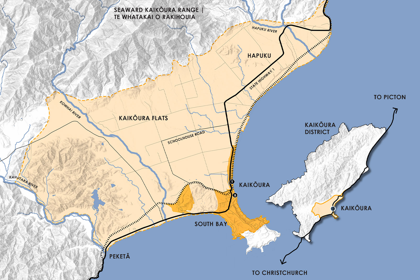
Spatial analysis included mapping of developable land, constraints (natural hazards, productive soils, landscape features), and land use scenarios. The plan identifies areas suitable for intensification, rural residential clustering, and industrial development, while protecting sensitive landscapes and hazard-prone areas.
The Spatial Plan is underpinned by five core principles, co-developed with mana whenua and the community:
Rangatiratanga and Kaitiakitanga
Protect and enhance interconnected landscapes, indigenous biodiversity, and mahinga kai. Promote nature-based resilience and ecological connectivity from mountains to sea.
Whakapapa and Mana
Celebrate Kaikōura’s heritage, protect wāhi tapu and wāhi taonga, and retain the district’s small-town character through culturally responsive design.
Whakawhānaungatanga and Whānaungatanga
Consolidate growth around existing towns and settlements. Avoid ribbon development and promote compatible land uses, including papakāinga and clustered rural residential areas.
Manaakitanga and Tautoko
Support inclusive, accessible public spaces and diverse housing options. Enhance parks, reserves, and intergenerational recreation facilities.
Kotahitanga and Whakapaparanga
Diversify the local economy, support education and marine research, and promote well-designed places that meet everyday needs.
Key spatial moves include extending the town centre northward to the train station and consolidating commercial and visitor accommodation zones. Medium-density residential clusters are planned near the foreshore and Wakatu Quay, and neighbourhood centres will be established in South Bay and Ocean Ridge.
Enhancing pedestrian and cycling networks, including the Whale Trail, will be enhanced, along with protecting ecological corridors and implementing a blue-green network.
The plan proposes a staged approach to development, recognising that the long-term nature of planning for 30 years means that many factors could change, requiring adaptability and flexibility in project planning and implementation
Short-term actions enable foundational projects that address current needs and enable future implementation. Priority is given to critical infrastructure improvements, essential services, and quick wins that provide low-risk, cost-effective benefits for the community and visitors.
The medium-term spans 5 to 15 years and focuses on planning transformative projects, such as the Heavy Vehicle/Freight Bypass Investigation and Airport Relocation Investigation. It is the opportunity for implementing more complex and comprehensive initiatives that require thorough planning and coordination, such as the Town Centre and Beach Road Masterplan and comprehensive greenfield development.
The long-term development encompasses visionary goals that shape the future of Kaikōura, such as partnering to achieve sustained education, research and employment. This period focuses on implementing large-scale infrastructure investments, such as the construction of the heavy vehicle bypass, and urban regeneration to consolidate growth within the town.