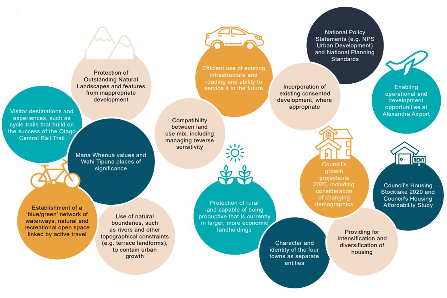
The Vincent Spatial Plan was shaped by extensive community input through surveys, workshops, and drop-in sessions. Key findings included strong support for balanced growth between urban and rural areas and the desire to protect productive land and heritage values. Housing diversity and affordability was a concern, and there was support for enhanced recreational and green space networks.
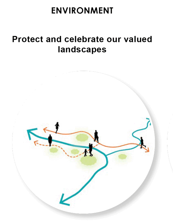
The plan integrates a blue-green network of open spaces, waterways, and trails to support biodiversity, recreation, and urban form. A key component of this is enhancement of the Mata-au | Clutha and Manuherekia Rivers. Expansion of the Otago Central Rail Trail and other shared trails, along with strategic provision of new open spaces and amenity buffers is planned and will play a role in improving connectivity between town centres, schools, parks, and community facilities.
Alexandra Spatial Plan focuses on consolidation and northward expansion from the town centre. Medium-density infill within the existing street grid will support town centre vitality and expansion of industrial land to the west and northeast is planned. Enhanced cycle trail connectivity converges on the town centre, while defined urban boundaries and amenity buffers to protect productive land and landscape values.
The plan supports a mix of housing types and densities, transitioning from medium-density to rural lifestyle areas, and aims to improve accessibility and urban form.
Clyde Spatial Plan directs growth southward from the historic town centre. Medium-density infill near the town centre will be guided by heritage design principles to ensure preservation of Clyde’s character and heritage precinct. A new industrial area is planned adjacent to the Clyde Railhead, along with establishment of a green corridor and active travel route along Waikerikeri Creek.
The plan balances growth with the protection of Clyde’s unique identity and landscape setting.
Omākau and Ophir Spatial Plans focus on strengthening Omākau’s town centre and retail core, and expanding Ophir’s heritage precinct to protect its historic character. Enhanced trail and open space networks will connect the two towns.
Growth is sequenced to align with infrastructure capacity and community needs by first concentrating on existing zoned land and later enabling new residential development.
The Vincent Spatial Plan has been adopted by Central Otago District Council and will guide future Council-initiated plan changes and District Plan review processes.
The plan provides a clear, staged approach to growth that aligns with infrastructure capacity, community values, and environmental stewardship. Community feedback will inform the final spatial arrangements and sequencing of development and Council will collaborate with mana whenua and stakeholders on implementation.
View the full Vincent Spatial Plan.